Chapter 6. Projection Management
Projections control how the geographic data is displayed on the screen. If multiple layers are loaded into Thuban where the geographic data is in a different projection system, then the user must specify a projection for each layer. The user must also tell Thuban which projection the map is in. This can be the same as the layers or a different projection in which case the layers are reprojected into that space. The map projection can be set using -> and the layer projection can be set using ->.
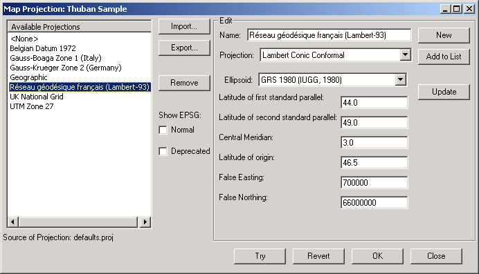
Thuban is distributed with a sample collection of projections and the set of coordinate systems as used by the EPSG (European Petroleum Survey Group). This quite large set is only displayed if activated by the according checkbox. The set falls into two parts: deprecated lists all projections which are no longer part of the EPSG data base.
The user can create new projections and make them available to all future Thuban sessions. They may also be exported and imported so that custom projections can be distributed.