3.5. The Legend
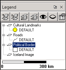
The Legend provides an overview of the layers in the map. Layers that appear higher in the legend will appear ``closer'' to the user. If a layer supports classification (currently, only shape layers have this feature) then the classification groups will be shown below each layer. The properties for each group are also displayed with a small graphic. Polygon layers appear as rectangles, lines appear as curved lines, and points appear as circles.
Along the top of the legend is a toolbar which allows quick access to some of the layer manipulation options under .
The Move Layer to Top tool
 raises the selected layer to the top of the map.
The Move Layer Up tool
 raises the selected layer one level.
The Move Layer Down tool
 lowers the selected layer one level.
The Move Layer to Bottom tool
 lowers the selected layer to the bottom of the map.
The Visible tool
 shows the selected layer in the map if it was
hidden.
shows the selected layer in the map if it was
hidden.
The Invisible tool
 hides the selected layer in the map.
The Properties tool
 opens the layer's properties dialog box.
Double-clicking on a layer or a group of a layer will open the
properties dialog for that layer.
opens the layer's properties dialog box.
Double-clicking on a layer or a group of a layer will open the
properties dialog for that layer.
The most used layer related actions are also available from a popup menu. It is raised when a layer is clicked with the right mouse button.
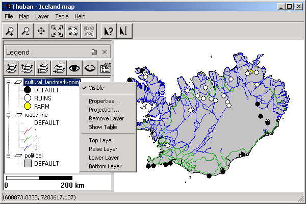
Along the bottom of the legend is the scalebar. The scalebar will be available if there are any layers and the map has a projection set.